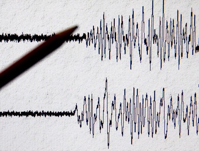
On June 16, at 17:41 local time (GMT – 13:41), the Seismic Protection Survey Seismological Network of Armenia’s Ministry of Emergency Situations (MES) registered a 4.3 magnitude earthquake at northern latitude 41.000° and eastern longitude 48.530° geographic coordinates – 131 km north-west from Azerbaijan’s Baku city – at the depth of 30 km.
As Panorama.am was informed from the MES, the tremor measured magnitude 5-6 points at the epicentre. The quake was also felt in Hadrut town of Nagorno-Karabakh Republic (Artsakh) with magnitude 2-3 points.
The epicentre of the earthquake was 228 km away from the state border of Armenia.


