


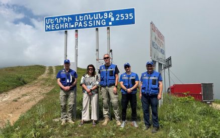


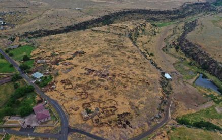


Alarms were heard from Syunik that the Azeris were setting up a new base in the area called “Qachal Sar” from where the residents of Goris were being targeted. On November 2, in the parliament, the journalists asked the RA Minister of Territorial Administration and Infrastructure Gnel Sanosyan for an explanation. He said to address the question to the Ministry of Defense. The minister did not answer the journalists’ numerous questions about the possible demarcation works and maps, saying that he had come to the parliament today to report on other issues. As a member of the ruling team, he said that he is aware of many issues, but will not talk about them all.
He agreed that our situation is painful, but he believes that living peacefully and clarifying our borders plays a big role in this painful reality so that there are no constant border disputes, even if there are painful solutions for us in one or two places. Gnel Sanosyan could not say which maps will be used as a basis for clarifying the borders between Armenia and Azerbaijan. But he noted that in all the maps until the 1920s, for example, Al Lakes were marked as the territory of Armenia. According to him, in case of being guided by those maps, the change in that part will be in favor of the Armenian side.
“There are different discussions, there are different maps. Which maps will be the basis, it is important what legal status those maps have. That is, even if those maps are from the Soviet years, they must be legally clarified and accepted by all in order for that to be the basis.”
According to Gnel Sanosyan, if the maps of the 1920s are taken as a basis, then there are a lot of changes. In response to the question of which side will these changes be in favor of, the minister answered, “As for Al Lakes, in our favor because, as far as I know, until the end of the 1920s, Al Lakes are marked in all the maps as the territory of the Republic of Armenia. There is a certain line in those maps from which these lakes remain.”
Read also


The minister did not share other details. The minister detailed that the Al Lakes are not currently under the control of the Armenian side. Regarding the safety of the Kapan-Goris highway, the Minister said that he had crossed it 20 days ago and had not noticed any danger. He found it difficult to detail how he passed that way. On the way, he was busy talking and did not notice it.
Nelly GRIGORYAN


