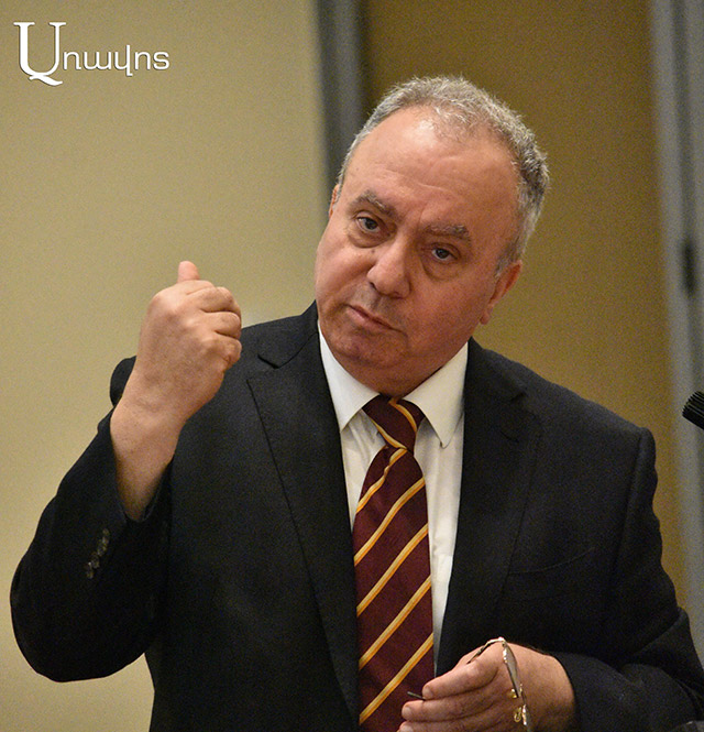
Which maps should be taken as a basis for the demarcation-delimitation between Armenia and Azerbaijan? This question was raised by Hrant Bagratyan, the former Prime Minister of Armenia and the leader of the Freedom party, during a recent rally on France Square, noting that he did not admire either the US or France for Russia’s activities, but the fact that the Russians yielded and kept 29 thousand square kilometers as part of Armenia.
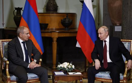
“Two months ago, Russian President Vladimir Putin announced that we should draw the borders with military maps from 1926. And what happened a day later? It seemed that Azerbaijan should be furious, Aliyev should say, what are you saying, etc., but Aliyev knows how to behave. Suddenly, NA Civil Contract deputy Armen Yeghoyan announced that 1991 maps are more acceptable for Armenia” Bagratyan recalled, assuming that Aliyev had called Nikol Pashinyan to tell him to deny the “unsuccessful thing” Putin had said to Armenians, after which Arman Yeghoyan had been instructed by Nikol Pashinyan to say what he had said.
Bagratyan considers our lesson from all this that when sitting in the demarcation-delimitation negotiations, one should sit using maps from 1926 with which there are no decisions about the enclaves. Armenia and Azerbaijan have printed maps for themselves, called from Moscow, asked to agree on those maps, and we were wrong, and the negotiations should be conducted not at the level of maps, but at the level of these signed documents, at least at the level of regional leaders. In his estimation, Nikol Pashinyan, not knowing all this or betraying all this, compromises, accepting the topic of enclaves around our necks. According to Bagratyan, the NKAO should also become independent using the borders that existed prior to the 44-day war, and there was no corridor between the RA and the NKAO; they were bordering each other.
Read also
Nelly GRIGORYAN


