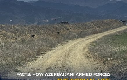
1. Nerkin Hand is isolated from 3 sides by 25 unlawful armed positions of Azerbaijan. 15 of the positions are inside the village, that is, in the territory of Armenia.
2. Azerbaijani armed positions, from where 4 Armenian servicemen were killed and 1 wounded in the territory of Armenia on 13.02.2024.
3. In Nerkin Hand, the biggest distance from Azerbaijani unlawful armed positions on the territory of Armenia is about 2,060 meters (the border and country’s deep territory).
4. The nearest Azerbaijani unlawful armed position to Nerkin Hand school is about 769 meters away.
Read also
5. Sources of drinking water in Nerkin Hand, St. Hripsime church and the cemetery are under Azerbaijani occupation. People have to drink water from the river.
6. Gardens, pastures, grasslands and arable lands in Nerkin Hand are under Azerbaijani occupation, cattle breeding has disappeared.
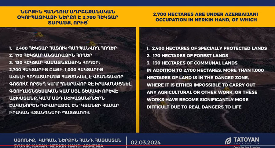
7. 2,700 hectares are under Azerbaijani occupation in Nerkin Hand, of which:
1. 2,400 hectares of specially protected lands;
2. 170 hectares of forest lands;
3. 130 hectares of communal lands.
In addition to 2,700 hectares, more than 1,000 hectares of land is in the danger zone, where it is either impossible to carry out any agricultural or other work, or these works have become significantly more difficult due to real dangers to life.
8. In Nerkin Hand, Azerbaijani military servicemen are destroying environment; flora and fauna, building unlawful roads.
9. Shootings and mine explosions are heard from the Azerbaijani armed positions isolating Nerkin Hand.
Center for Law and Justice “Tatoyan” Foundation


