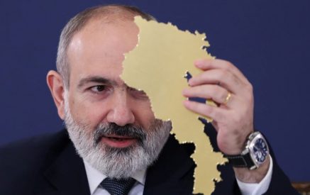
Nikol Pashinyan, answering the questions of journalists and NGOs addressed to him live, referred to demarcation and delimitation, said, “Many maps show up on the Internet with claims that this territory is inside the borders of Soviet Armenia. We invite the authors of such statements with love and respect to please present the legal grounds. Today we know with millimeter accuracy where the de jure borders of Soviet Armenia pass.”
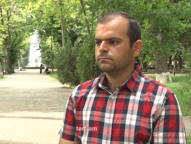
Geodesist-cartographer Shahen Shahinyan told Aravot that various specialists did not publish the de jure maps when referring to the topic, as it is known in professional circles that legally based maps are those that are approved by the authorized bodies of that time and under which are the signatures of the authorized persons of Soviet Armenia and Soviet Azerbaijan.
“Many thematic maps have been published on the Internet, which are not accurate, as is the case with military maps. And I have seen many maps on the Internet, for example, road maps, which show that the road section passes through some place, it does not matter through the territory of Armenia or Azerbaijan, but they do not have the accuracy that can ensure the demarcation. I have heard experts who mainly talk about maps that are military and have legal force. And those military maps, at least, were not available to me. I don’t think they were available to specialists either. We have always said that the maps of the 1920s may be the basis for the demarcation, but the maps of the 1920s are not only not accessible from a military point of view. They are also not available because some of them are missing from Armenia, and Armenia did not have or does not have them at this moment. We need to talk about their legal basis,” Shahinyan said.
Pashinyan also said at the press conference, “It is widely discussed that I do not know that part of the Goris-Kapan road is in the territory of the Republic of Armenia with a map of numbers. With a de jure map, not the whole road, we are talking about a small part of the road, that part is not in the territory of the Republic of Armenia.”
Read also
In this regard, Shahinyan said, “When we talk about maps, our research is open source maps, and I can say that we can rely on them. They are the Soviet maps of 1973 and 1977. One is hundreds of thousands of scales, which have been declassified and spread on the Internet. We have studied it, and according to those maps, only 7-20% of Lake Sev is part of Azerbaijan, and the 21 km section of the Goris-Kapan road, unfortunately, passes through Azerbaijani territory.
But when we talk about secret maps of the Ministry of Defense, there are more accurate maps. Here again, what is important is the legal basis of the map, whether those maps and any documents attached to them have the seal and signature of the leader of Soviet Armenia, we do not know. Months ago, the NSS released a video related to Lake Sev, which showed that at least 75% of the lake belongs to Armenia. There were sealed maps there. This is the only material I could find.”
Mr. Shahinyan said that we have different maps, starting from the 1920s, 1920, 1922, and 1925, which were the first, and it is logical that they were approved, and in the years following the approval, those maps should be reconfirmed as amended. “From this we can assume that the maps, the photocopies of which are published, are not a basis, unless there is a document that will fix the agreement reached and the signed, signed originals of the documents.”
Moreover, as the Russian President Putin said, the maps in the Russian General Staff are not known to the Armenian professional circles, at least that is what Mr. Shahinyan said. He noted that even the professional circles were not given details about what maps are in question, what principles are in question and what the Russian side offers. Mr. Shahinyan also added that during the Soviet years, maps of the Transcaucasian countries were kept in Tbilisi, and they were stored there. Over time, some maps were moved to Armenia, and they are not just a piece of paper, but many papers of defined size and shape reach a thousand, depending on the scale of the maps.
“I know that it was possible to bring some maps of the 1920s to Armenia, but according to my information, Armenia once appealed to Moscow and Tbilisi. But for unknown reasons, they were not provided or brought to Armenia. In other words, we have a lot of work to do, our diplomacy, cartographers, economists, that commission to be created, everyone must unite around that case, put aside personal and political views and exert their efforts and invest in the interests of Armenia.”
Nelly BABAYAN


