


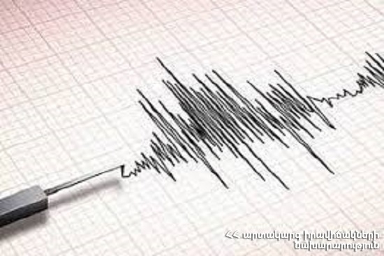
On January 21, at 23:23 local time (at 19:23 GMT) the Seismological Network of the Territorial Seismic Protection Service of the MES of RA registered an earthquake of magnitude 3.8 and 10 kilometers depth with the geographic coordinates of 39.50⁰ in northern latitude and 45.52⁰ in eastern longitude on 33rd km north-east of Nakhijevan town, in Nakhichevan-Armenia border zone.
The magnitude of the earthquake in the epicenter was 5.
The earthquake was felt in a number of settlements of Syunik region of Vayk, Yeghegnadzor towns of Vayots Dzor province of RA with the magnitude of 3-4.
Ministry of Emergency Situations of the Republic of Armenia


